Contested Haudenosaunee Six Nations Confederacy Lands, Grand River
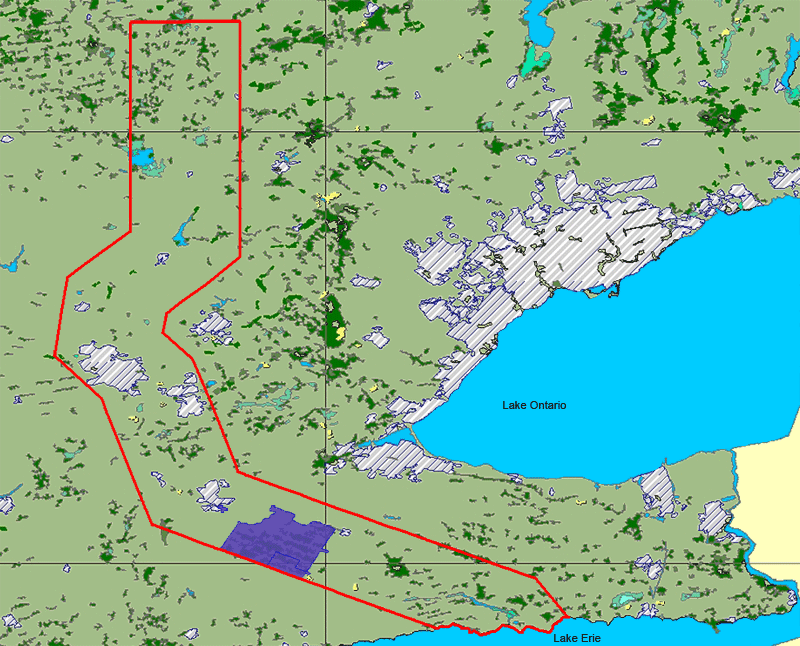
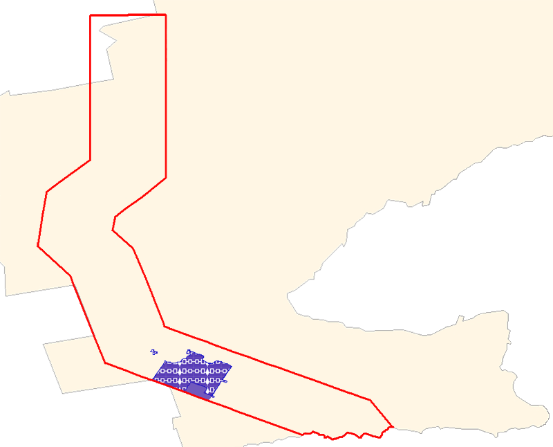
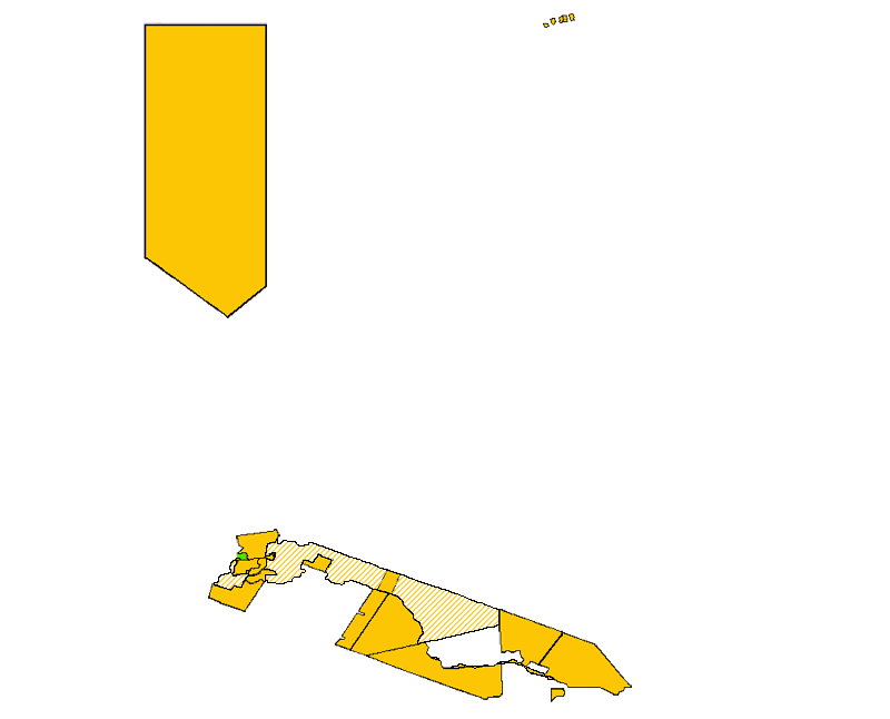
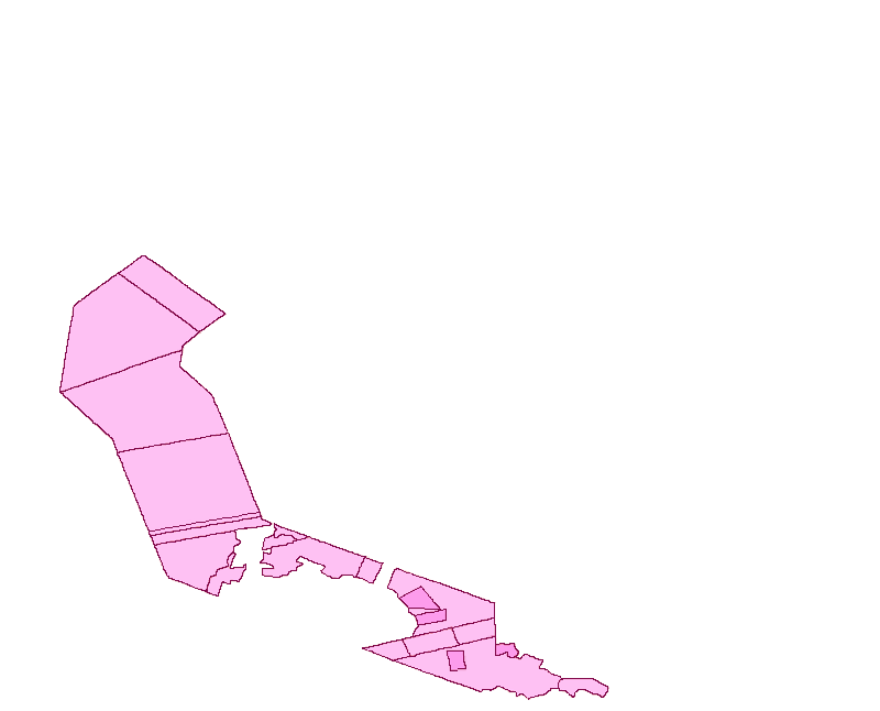
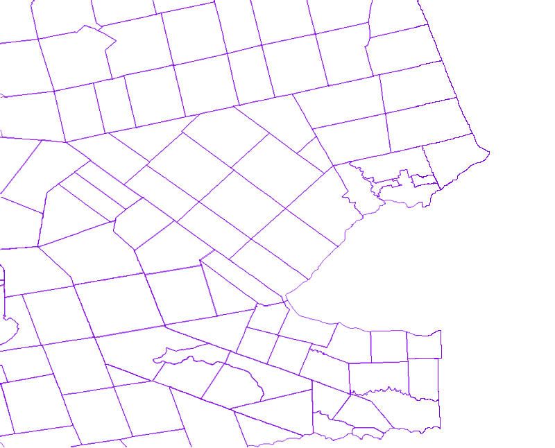
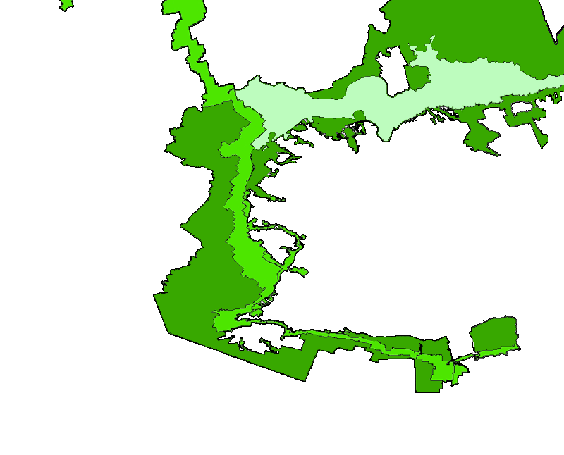
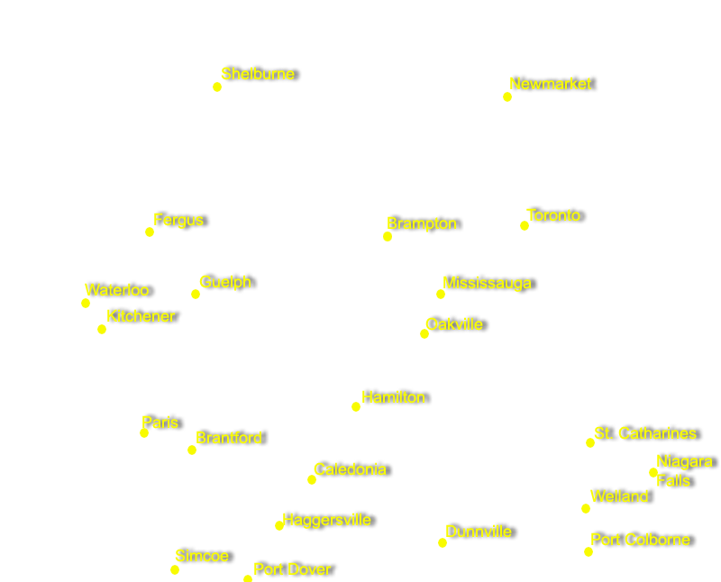
The area outlined in red represents the Haudenosaunee Confederacy's Grand River lands in 1784. According to the Haudenosaunee, much of this land was never lawfully surrendered and still belongs to them. According to the Canadian government, only the area in purple --about 5% of the total 1784 land holdings-- remains in Haudenosaunee hands. Users can roll over shapes on the map, or turn on additional map layers for more information.
Map use note: To turn layers on or off, click on the name of the layer in the right side bar. Generally, when multiple map layers are turned on, rollovers will only work for the activated layer that is closest to the bottom of the map.
Special Thanks To:
|
MAP HELP Marcie Hill, Six Nations Lands and Resources Phil Monture, President, Nativelands Ltd. |
TECHNICAL HELP
Jean Boulet, CUNY Graduate Center IT Instructor/ IT Consultant Aaron Knoll, CUNY Gradute Center New Media Lab Web Developer |
