Detail of Brantford Area Lands
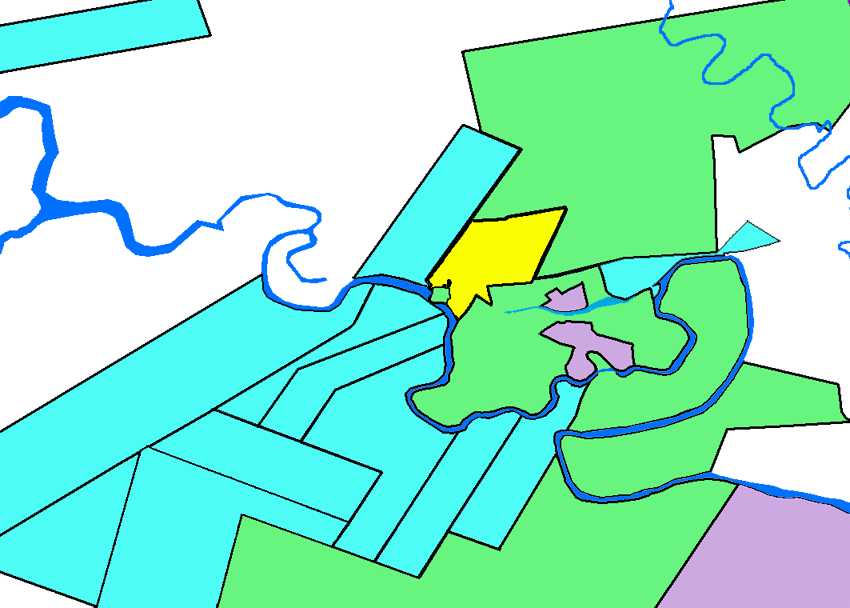
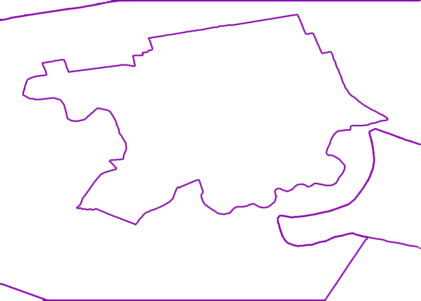
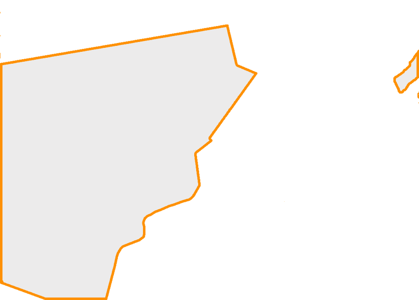
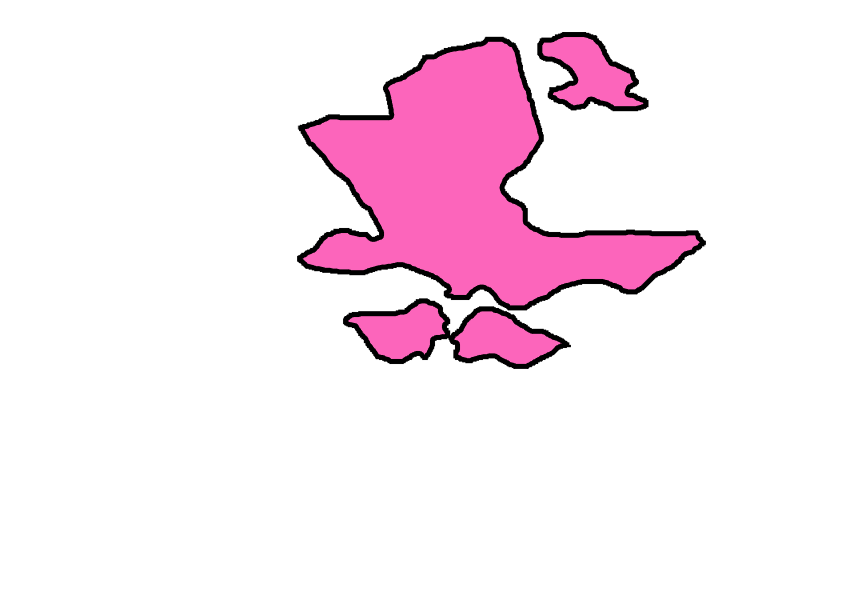
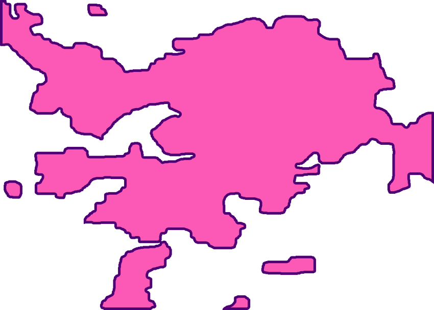
This map shows land claims and some of the contested lands in the Brantford area. Users can refer to the key immediately below.
| Areas in green represent land claims that have been filed. | The yellow area represents the Brantford Town Plot. | |||
| |
Areas in blue represent lands of interest that may be contested in the future. | The white area represents lands that may be contested in the future, but for which more information was not currently available. | ||
| Areas in purple represent Six Nations/First Nations lands. |
*Map use note: To turn layers on or off, click on the name of the layer in the right side bar. Generally, when multiple map layers are turned on, rollovers will only work for the activated layer that is closest to the bottom of the map.
Special Thanks To:
|
MAP HELP Marcie Hill, Six Nations Lands and Resources Phil Monture, President, Nativelands Ltd. |
TECHNICAL HELP
Jean Boulet, CUNY Graduate Center IT Instructor/ IT Consultant Aaron Knoll, CUNY Graduate Center New Media Lab Web Developer |
